
통합 검색
통합 검색
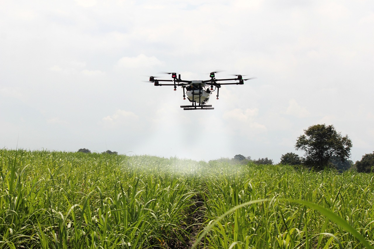
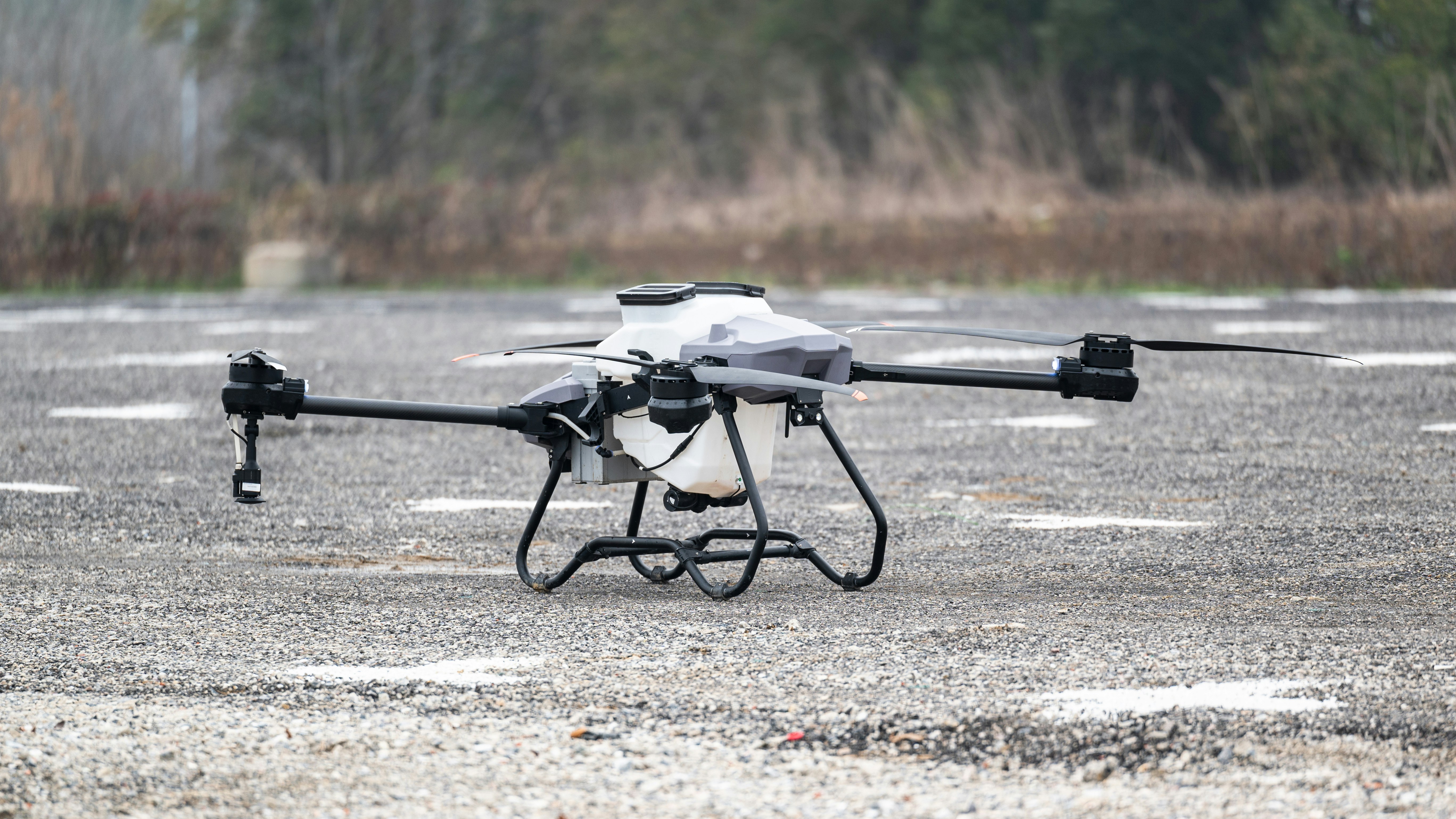
방제
Crop Protection / Pest Control / Agricultural Spraying
정밀하고 효율적인 드론 방제로 작물의 건강을 지킵니다.
LPL은 고성능 드론을 활용하여 벼, 과수, 밭작물 등 다양한 작물에 대한 정밀 방제 서비스를 제공합니다. 자동 비행 경로 설정과 균일한 약제 분사로 병해충 피해를 최소화하고 작업 효율은 극대화합니다.
Protecting Your Crops with Precision and Efficiency
LPL provides precision drone spraying services for rice paddies, orchards, and field crops. Our automated flight paths ensure even coverage, reducing pest damage and improving productivity.
방역
Quarantine Control / Disinfection / Disease Control
전염병 확산 방지, 드론 방역으로 빠르게 대응합니다.
ASF, AI 등 가축 질병 및 유해 동물에 대한 드론 방역 서비스를 수행합니다. 열화상 및 고출력 분사 시스템으로 위험지역을 신속히 소독하고, 인력 접근이 어려운 지역까지 방역 가능합니다.
Rapid Response to Disease Outbreaks with Drone Disinfection
We provide drone-based disinfection services for areas affected by diseases like ASF and AI. Our UAVs reach hard-to-access zones quickly and safely, ensuring thorough sanitation and risk control.
측량
Aerial Surveying
공간정보를 하늘에서 읽어내다 – 드론 측량 서비스
LPL의 드론 측량 서비스는 고정밀 RTK 장비를 기반으로 지형, 농지, 공사현장 등의 데이터를 빠르고 정확하게 수집합니다. 3D 모델, 오르소이미지 등 다양한 형태의 결과물을 제공합니다.
High-Precision Surveying from the Sky
Our drone surveying service captures accurate terrain and land data using RTK-enabled UAVs. We deliver 3D models, orthomosaic images, and geospatial data for agriculture, construction, and land analysis.


